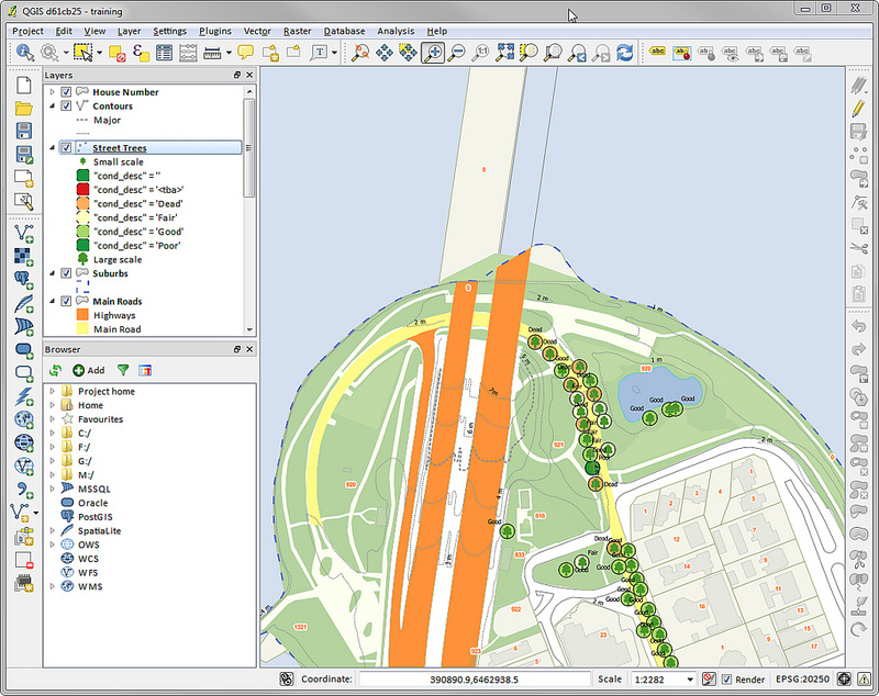
A GIS is a framework or collection of multiple application that provides the ability to capture, store, manage, and analyze spatial and geographical data. In Maaway we have an In-house GIS expertise, we also have been associated with many leading GIS services provider in India, we offer the best services to our clients globally, for getting spatial information mapped and interpreted. We have developed solution that store, analyze, and display geographical information for a better navigation.
We have cutting edge knowledge of creating, updating and maintaining the GIS mapping & conversion, Landbase Data Mapping, Digital Image Processing, vehicle tracking and location-based solutions etc. We are at the forefront of technological progress in GIS and have skilled process engineering teams & consultants, who provide the most secured, best-in-class quality, accurate results and scalable services with quick turnaround to our clients globally.
Maaway’s expertise in GIS solutions allows us to create customized GIS mapping solutions for Transportation, Utilities (Telecom, Electricity Power Distribution, Water Supply and Waste Water), Logistics, Environment, Real Estate, and Financial businesses etc.

